價格:免費
更新日期:2018-11-09
檔案大小:103.7 MB
目前版本:1.0.1
版本需求:需要 iOS 9.0 或以上版本。與 iPad 相容。
支援語言:英語

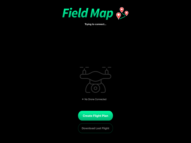
Use your waypoint capable drone to map your field. Here's how it works:
1. Connect a drone

2. Draw an area on the map you would like the drone to map.
3. Wait for the drone to fly and allow the backend server to stitch the images.
4. View your map.
支援平台:iPad
