
價格:免費
更新日期:2020-03-30
檔案大小:28 MB
目前版本:2.5
版本需求:系統需求:iOS 10.0 或以後版本。相容裝置:iPhone、iPad、iPod touch。
支援語言:英語
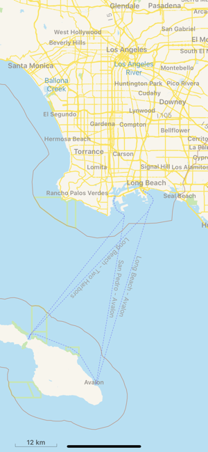
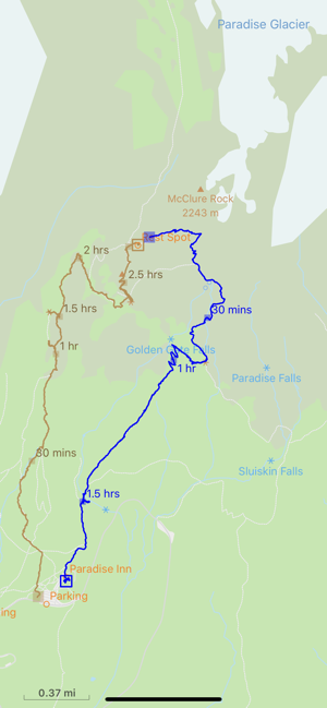
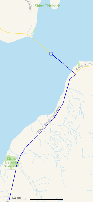
TrailTool helps you plan your next trip.
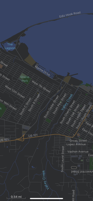
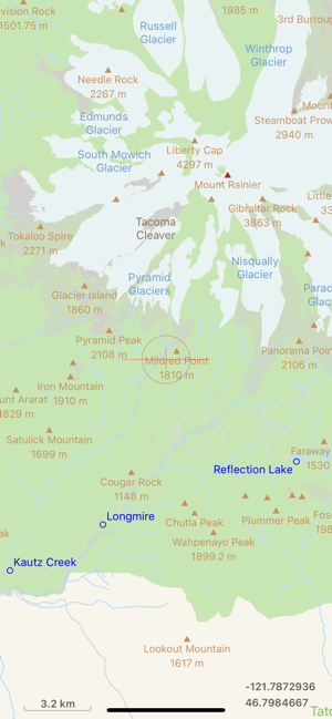
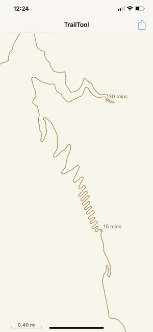
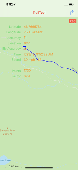
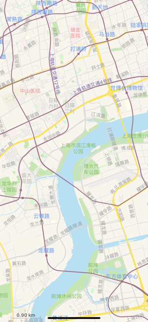
It supports recording and reviewing GPS tracks and point of interests. You can browse through destination map without network connection once it's loaded. It supports direct import of OpenStreetMap PBF/OSM data, so no matter wherever you go, you're covered.
For privacy and security reason, all saved location data are always stored on local device only, no data is ever uploaded to the cloud.
### Main Features
− Record GPS tracks or point of interests. Import/Export of GPS tracks or point of interests for trip planning.
− Import OpenStreetMap data directly.
− Supported data exchange format: PBF, OSM, GeoJSON/JSON, and GPX for importing/exporting GPS tracks or point of interests.
− Support data sharing via AirDrop and standard iOS share functionality.
− Map data can be imported in default native language or English language when it's available. Very helpful for traveling to places where you don't know the local language.
Note:
For devices that do not have GPS, this app can still be used to review map data, saved trails or point of interests. But you will not be able to record trails or on location point of interest.
### Map Data
The app comes with one sample dataset. You can add additional datasets from OpenStreetMap web site. For more information and step by step examples, please visit TrailTool web site at: https://yadingstudio.com/apps/TrailTool/index.html
Hope you'll find this app useful in your travel or hiking adventure!
支援平台:iPhone, iPad