價格:免費
更新日期:2020-07-20
檔案大小:109.1 MB
目前版本:3.0.2
版本需求:系統需求:iOS 12.0 或以後版本。相容裝置:iPhone、iPad、iPod touch。
支援語言:英語

GR10 is a long distance route located in the French Pyrenees. The route runs from the Atlantic Ocean to the Mediterranean Sea, across the entire mountain range of the Pyrenees.
The route is very well marked with the typical paintings of the roads of GR, the horizontal fringes, a white and the other red.
This route is very well prepared and there are many places to sleep in it. To enjoy the maximum it is recommended to travel autonomously with some type of tent.
The GR10 is probably the most known transpirenaic route and an incredible way to discover the beautiful small towns of the french Pyrenees.
"Digital Hiking Guide" is the proposal of **HIKEORAMA** as an assistant in long distance routes.
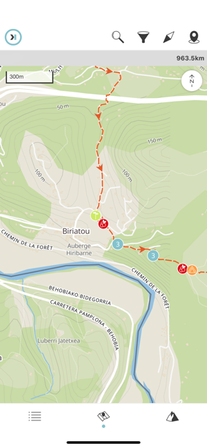
It includes in a single application all the necessary information in your routes. Maps, meteorology and information of all the points that you will find along the way. All this presented in the most accessible possible way.

It will allow you to position yourself on the route and will help you to take better decisions.
Summary:
ATM 11
Accommodation 94
Bayas 37
Camp spot 295

Camping 31
Contact 105
Credit card 9
Difficult section 12
Electric connection 4
Food store 57

Garbage 45
Hut 61
Laundry 3
Magic spot 2
Mountain pass 19
Natural pool 8

Natural shelter 4
Outfitter 7
Pharmacy 12
Phone signal 41
Picnic area 28
Post office 13

Public transport 18
Restaurant 65
Roof 54
Sign post 282
Source 178
Stream 274

Summit 5
Toilet 34
Tourism office 8
WIFI 2

