價格:免費
更新日期:2018-08-19
檔案大小:115.1 MB
目前版本:2.01
版本需求:需要 iOS 10.0 或以上版本。與 iPhone、iPad 及 iPod touch 相容。
支援語言:英語

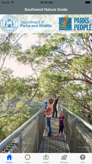
The South West NatureGuide App uses technology to help you build a deeper connection to the natural world in the South West of Western Australia.
The South West Nature guide allows visitors to Department of Parks and Wildlife (DPAW) sites to scan tags located near trees, plants and other features. The App will then display rich information about the species scanned, including the name, distribution, a photo and interesting facts. The South West Nature Guide has been developed in partnership with DPAW.
Whether you’re standing near a plant or a magnificent old tree, overlooking an expansive view, or looking out for wildlife, learning more about the natural world is easy with the South West NatureGuide helping you along the way
The App contains over 130 entries on local flora, fauna, history and geology. Tagged trails can be found at:
- The Tree Top & Ancient Empire Walks – 17km east of Walpole
- The Diamond Tree - just south of Manjimup
- The Gloucester Tree – near Pemberton

- Hill Top - 5km east of Walpole
- William Bay National Park – 10km west of Denmark
- Horse Yard Hill - behind the Walpole Visitor Centre
- The Dave Evans Bicentennial tree – In Beedelup National Park near Pemberton; and
- King Jarrah – just outside the town of Manjimup
The number of tagged trails and entries is growing all the time.
The App contains maps of the trails that are currently tagged. We recommend you download offline versions of some maps where mobile network coverage is poor. Having an offline version means that you will be able to see the map; and your location on it, even without mobile network coverage.

To download maps, select the Maps option and then Download Offline Maps. This will display a list of maps where there is poor network coverage. Downloading the maps takes a couple of minutes each. The App is currently 100MB of which 75MB are the maps.

支援平台:iPhone, iPad
