
價格:免費
更新日期:2016-11-08
檔案大小:110.5 MB
目前版本:1.1.1
版本需求:需要 iOS 8.0 或以上版本。與 iPhone、iPad 及 iPod touch 相容。
支援語言:英語
Take Spatial Vision’s award-winning SVmaps with you on your iPhone with the latest ORG map of the Buller-Howitt Alpine Area.
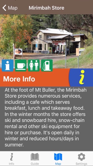
The Buller ORG app contains rich base mapping of the area linked with comprehensive guide information about recreation features. The app provides all the guide detail of the print map plus information about every recreation site in the area. Reveal the extraordinary history of the area as you navigate through the region by foot or car, find the best place to camp or have a picnic, even store your favourite walks.
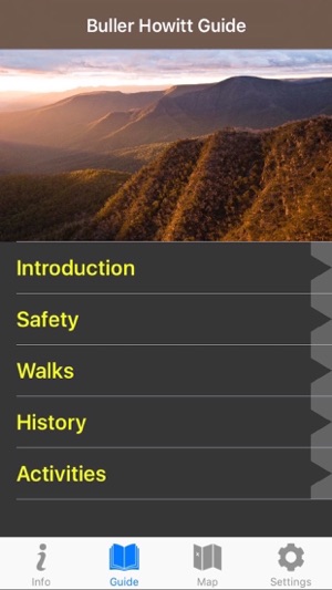
Guide includes:
-introduction
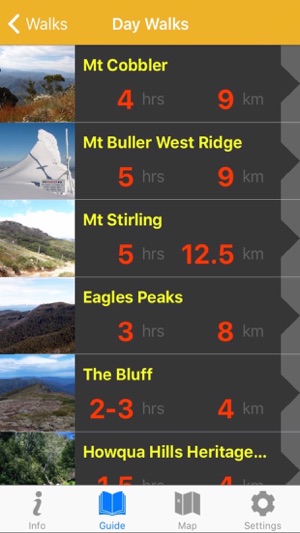
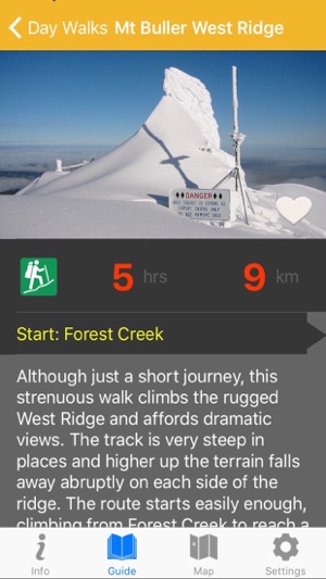
-colour-coded walks, including overnight walks, day walks and favourites (with distance, time, walk rating and warnings)
-history of the area
-safety information
-activities
-vivid photography
-further information
-web sites and phone numbers
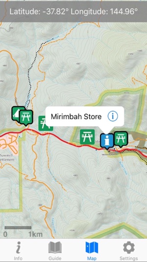
Detailed topographic map with recreation sites, points of interest, dynamic scale bar, heading, location in latitude and longitude as well as Map Grid of Australia, a detailed legend, usage instructions and app settings.
支援平台:iPhone