
價格:免費
更新日期:2018-06-22
檔案大小:30.7 MB
目前版本:1.1
版本需求:需要 iOS 10.2 或以上版本。與 iPhone、iPad 及 iPod touch 相容。
支援語言:英語
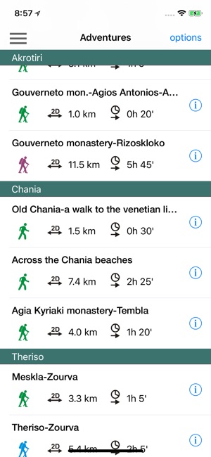
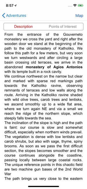
Chania topoguide is a digital field guide for hikers and nature lovers visiting Crete. It includes routes, descriptions and photos for 13 hiking trails in the old city of Chania and along the Akrotiri peninsula and the Theriso gorge.
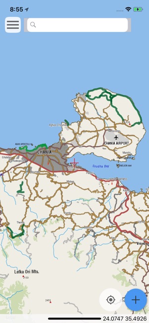
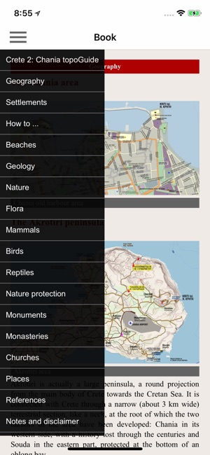
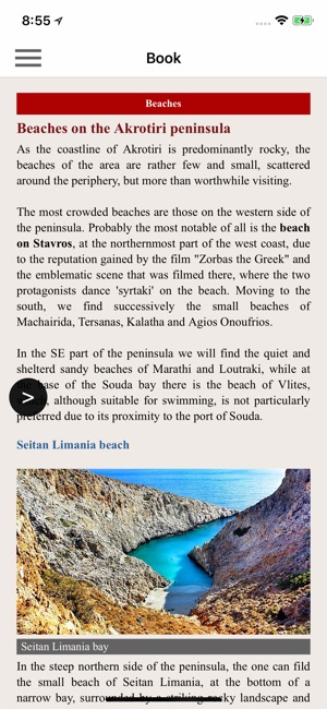
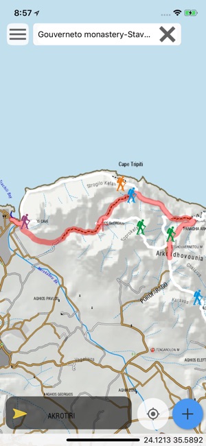
The application offers detailed offline maps and an extensive introduction on geography, geology, the nature and the rich ancient history of Chania, Akrotiri, the Agia lake and Theriso areas, emphasizing on the comprehensive presentation of the unique landscape, the fauna and the flora of the area.
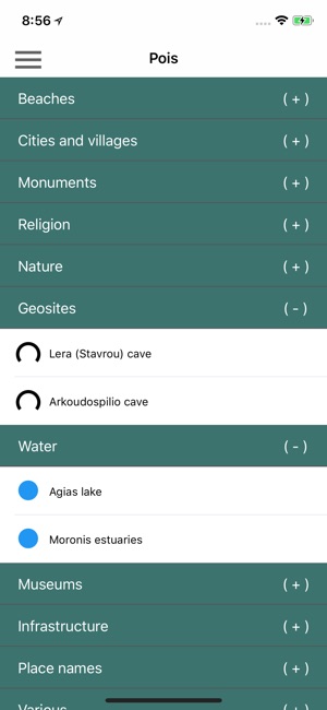
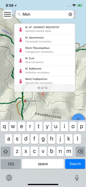
The app offers also a useful list of POIs with a comprehensive search engine.
The trails list includes easy walks and moderate hiking trails, of a total length of 60 km.
In the field, the app identifies the nearest adventure, guides you to it and then along it by displaying messages and warnings on every junction or other important location. On each Point of Interest, photos and texts are displayed on the map. If the hiker gets off-trail, the app indicates the shorter way to get back safely.
The cartographic company AnaDigit, creator of the application, has issued previously detailed hiking maps at a scale of 1: 25,000 for Crete, as well as hundreds other hiking maps for Greece (eg. maps of Mt. Olympus, Zagori, Sifnos, Naxos and other Aegean islands). To build the application and ensuring data accuracy, all paths of the app area have been revised during early 2018.
支援平台:iPhone, iPad