
價格:免費
更新日期:2020-02-16
檔案大小:74.6 MB
目前版本:1.3.1
版本需求:系統需求:iOS 11.0 與 watchOS 5.0 或以後版本。相容裝置:iPhone、iPad、iPod touch。
支援語言:英語
Using OrbisMaps you can Collect, aggregate, and share drilling and construction data with your team in real-time. Our multi platform cloud based infrastructure enables construction contractors to digitize their construction data, help surveyors collect survey data digitally and map them on Google maps in high accuracy also enabling them to create invoice digitally from our website.
OrbisMaps has offline data collection capability which helps contractors collect data offline in places where internet connection is spotty.
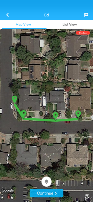
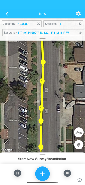
High Resolution maps: Collect data in high resolution on Google Maps
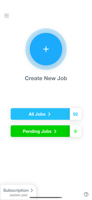
Manage Teams with Subscription: Manage teams with online roles based subscription model.
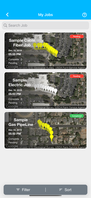
Share Team progress: Simultaneously work with your team members and review progress in real time on App or website in real time.
Invoicing: Invoice customers directly from our website.
Centimeter level accuracy: Collect data in centimeter level accuracy with RTK or correction from other devices.
Data Import: Import data from other systems.

Map Annotations: Draw directly on the map and share the details.
Photos: Take pictures for construction sites and share it with the team.
QR/Bar Codes: Scan QR/Bar codes directly from the app.
Custom Templates: Create custom templates for data collection to suit your needs.
支援平台:iPhone, iPad, Apple Watch