
價格:免費
更新日期:2017-11-22
檔案大小:110.2 MB
目前版本:bug solution for Bird checklist
版本需求:需要 iOS 9.0 或以上版本。與 iPad 相容。
支援語言:英語
A detailed guide to the Kruger National Park
Kruger South: This app covers the area from Malelane Gate and Crocodile Bridge, north, up to and including Nwanetsi Dam Picnic.
Information includes:
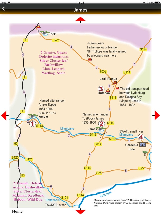
Meaning of place names
Easy tree identification
Geology of points of interest

History relating to points of interest
GPS Co-ordinates
Tourist information
Names of animals, birds and trees in English, Latin, Afrikaans and German
Rich Content:
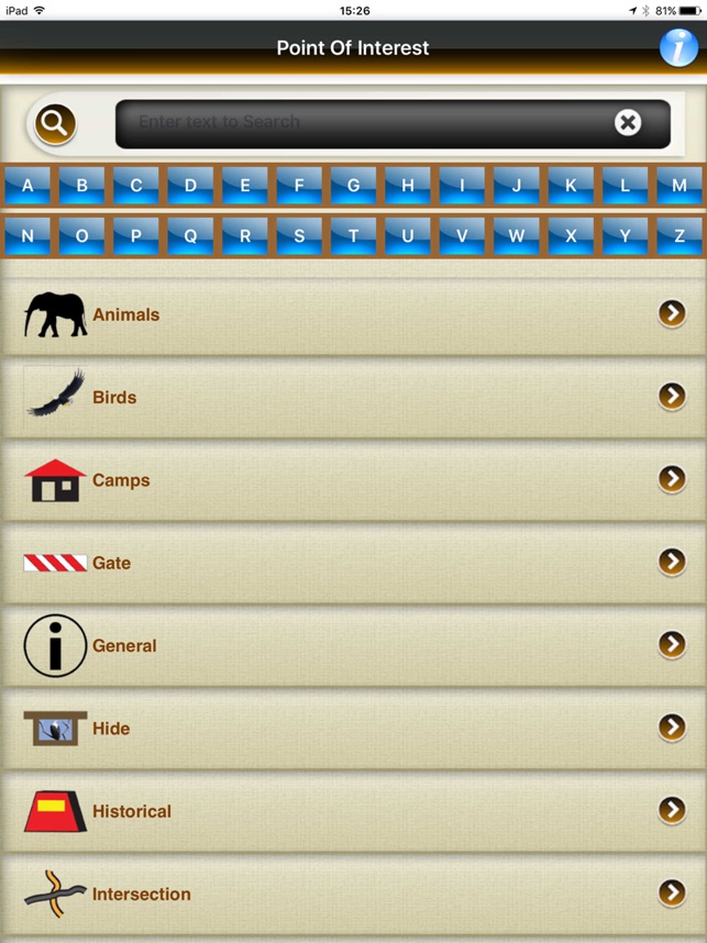
53 detailed, interactive map pages
152 points of interest describing camps, water holes, historical sites, bird hides, picnic places and viewpoints.

Over 200 photos of the waypoints above.
106 photos of common birds found in the Park
60 photos and interesting facts of the common animals found in the Park
Interface:
Two “scrollable” pages highlighting 12 major categories
Each category has further “scrollable” pages with alphabetical index
Search facility for all content in app
Interactive Animal Count Table allowing visitors to record the numbers of animals of each species seen on each day in the Park.
Interactive Bird Checklist Table
Not Internet dependent

支援平台:iPad