
價格:免費
檔案大小:17.4 MB
版本需求:系統需求:iOS 12.0 或以後版本。相容裝置:iPhone、iPad、iPod touch。
支援語言:英語
The main purpose of this app is to give earthquake alerts and notify the user about the latest earthquakes, this helps the users to take the required precautionary measures to avoid any kind of destruction.
Features of Earthquake Tracker:
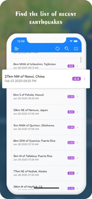
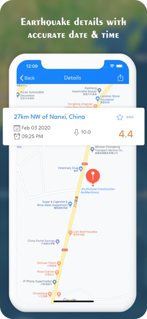
- Indexed list of earthquakes detected all over the world. The record specifies the time at which an earthquake occurred, along with its location in map, the intensity of an earthquake, and the distance between the user's location and the destination where an earthquake had occurred.
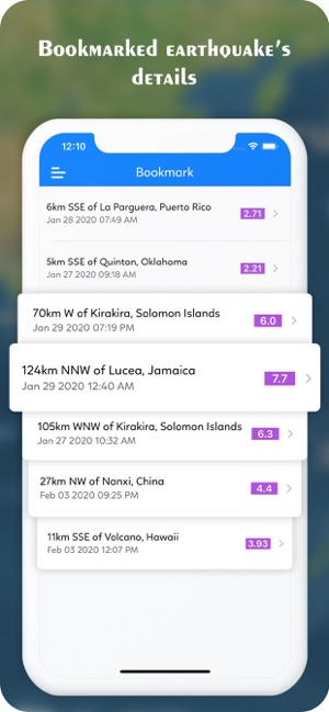
- A bookmark list, wherein the user can bookmark any of the occurrences of the earthquakes.
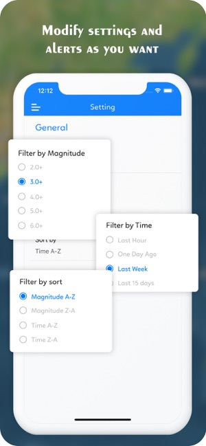
- Makes use of sensors to detect the probability of occurrence of an earthquake in the user's location. There are 9 color codes which depict the veracity of the expected earthquake.
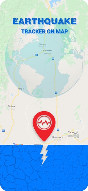
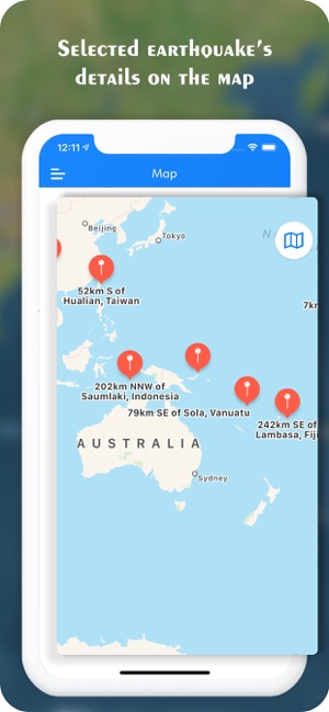
- Earthquake Map is a section of the app which exposes the user to have a dimensional view of earthquake network in a map. It has 4 map types namely: Normal, Hybrid, Satellite, and Terrain.
- A statistics board is displayed about the latest tracked earthquakes. This represents the estimated figure of the number of earthquakes that have taken place in the last 24 hours, current week and current month.
It is a convenient app for a large group of individuals all over the world. It is easy to use and has a user-friendly GUI.
支援平台:iPhone, iPad