價格:免費
更新日期:2018-07-27
檔案大小:23 MB
目前版本:1.0.4
版本需求:需要 iOS 10.0 或以上版本。與 iPad 相容。
支援語言:英語

This app is intended to be used for recording data collected using the layered photo plot protocol developed by the Multi-Agency Rocky Intertidal Network (MARINe).

Permanent photo plots are used to monitor percent cover of organisms within target species assemblages. Plots are established for a given species assemblage if overall cover at a site is sufficient for monitoring. In general, 5 replicate plots (50 x 75 cm) are placed in a stratified random manner throughout the target species' zone of maximum abundance. During the layered photo plot surveys, each plot is photographed, and the top and bottom organisms (or substrate) located below each of 100 evenly spaced points are identified and recorded.

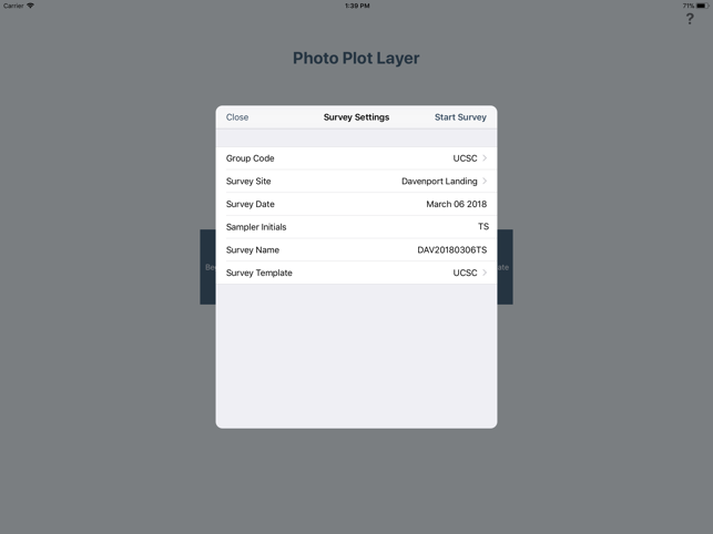
This app allows the user to select the specific site and target species being sampled, and record the top and bottom species (or substrate) associated with a specific location in the 100 point sampling grid.

For more information about our survey methods, please visit pacificrockyintertidal.org

支援平台:iPad
